Kuala Lumpur, 10 June 2021 – The COVID-19 pandemic has fast-tracked digital transformation in many industries. In fact, nowadays it’s no longer just an option – it’s a necessity.
In light of this, the recent virtual GeoInnovation Awards ceremony recognised seven organisations for their innovative approaches to help their communities be more resilient in the face of the pandemic and more importantly, embrace the “new normal”.
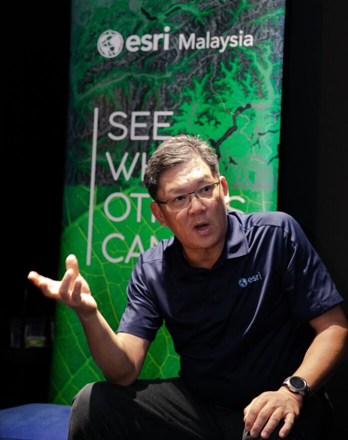
“Looking back at history, periods of adversity have always birthed major innovation milestones. This includes a technological legacy of advancements that include space travel, satellites, computers, and as well as more commonplace items such as tea bags and sneakers. Our generation’s situation with the COVID-19 pandemic is no different,” said Esri Malaysia CEO CS Tan.
According to Mr Tan, the winners were selected on the merits of how they used geospatial technology to address real-world challenges of which, there were no traditional solutions.
Among the seven winners is Tenaga Nasional Berhad (TNB), which used GIS technology to map and visualise the electrical assets with required information using a geo-intelligence platform that assists in planning and operation works for ensuring electric supply in order; where TNB is responsible for providing safe and reliable supply in an environmentally sustainable manner.
In addition, TNB also used the technology to allow the electric company’s crisis response team and all relevant units to maintain reliable electricity supply for the residents in all EMCO and quarantine station areas.
In the Department of Survey and Mapping Malaysia (JUPEM), GIS technology proved to be instrumental in the pandemic. JUPEM which falls under the purview of the Ministry of Energy and Natural Resources, hosts the program called Defence Geospatial Information Management (DGIM).
DGIM was used to provide a Joint Common Operating Picture (JCOP) in order to facilitate seamless geodata collaboration with the COVID-19 crisis management team. The platform displays daily and cumulative outbreak numbers nationally, insight on colour-coded zoning in districts, and identified contaminated areas that require sanitisation, amongst other functions.
With its capacity to assemble and visualise multiple datasets from various agencies into a single mapping platform, stakeholders, especially the National Security Council, are provided with real-time situational awareness helping to orchestrate COVID-19 response efforts on the ground.
The other winners of Esri GeoInnovation Awards included Syarikat Air Melaka Berhad (SAMB) for its Web-based GIS which provided the staff with a spatial view on their network pipelines and water assets in Melaka, thereby reducing time spent by workforce to travel especially during the height of the COVID-19 pandemic.
Meanwhile, the GIS technology has assisted the Department of Irrigation and Drainage (DID) in providing systematic documentation and visualization of huge datasets and analyses throughout all divisions in DID; the Malaysian Health Data Warehouse (MyHDW) at the Health Informatics Centre (HIC), Ministry of Health Malaysia increased analytical productivity and efficiency at HIC thus making the system integral to key health system management initiatives.
The National Hydrographic Centre’s (PHN) MyMarine GeoHub improved the workflow of chart production and data sharing within and among the data providing agencies. In addition to providing various data for products, the programme enabled digitisation on the part of producing and maintaining traditional charts in an efficient and effective manner. It also enabled fellow stakeholders to gain access to maritime data and optimised chart production workflow.
Fellow winner Solid Waste and Public Cleansing Management Corporation (SWCorp) which installed WEGIS also submitted how GIS technology had improved their operations especially saving on time and cost, allowed easier access to accurate data and information of its assets and areas, and as a result, provided better decision making at the top level.
“We would like to congratulate all our winners for their well-deserved recognition and for demonstrating resilience and inspiring us to GeoInnovate during such challenging times,” Tan added.
